Alberta Oil and Gas Infrastructure Map - Help Guide
Welcome to the comprehensive guide for using the Alberta Oil and Gas Infrastructure Map. This interactive map allows you to explore and analyze oil and gas infrastructure across Alberta.
Basic Navigation
- Pan: Click and drag the map
- Zoom: Use mouse wheel or the + / - buttons
- Reset zoom: Double click on the map
- Note: Data only loads when zoomed in sufficiently to ensure optimal performance

Map Features
Infrastructure Display
The map shows different types of oil and gas infrastructure:
- Pipelines (color-coded by substance)
- Wells
- Facilities
Abandoned pipelines are shown with dashed lines.
Search Function
Search for specific infrastructure using:
- License numbers
- Company names
- Facility names
- UWI (Unique Well Identifier)
Dark Mode
Toggle between light and dark modes using the moon/sun icon for comfortable viewing in different lighting conditions.
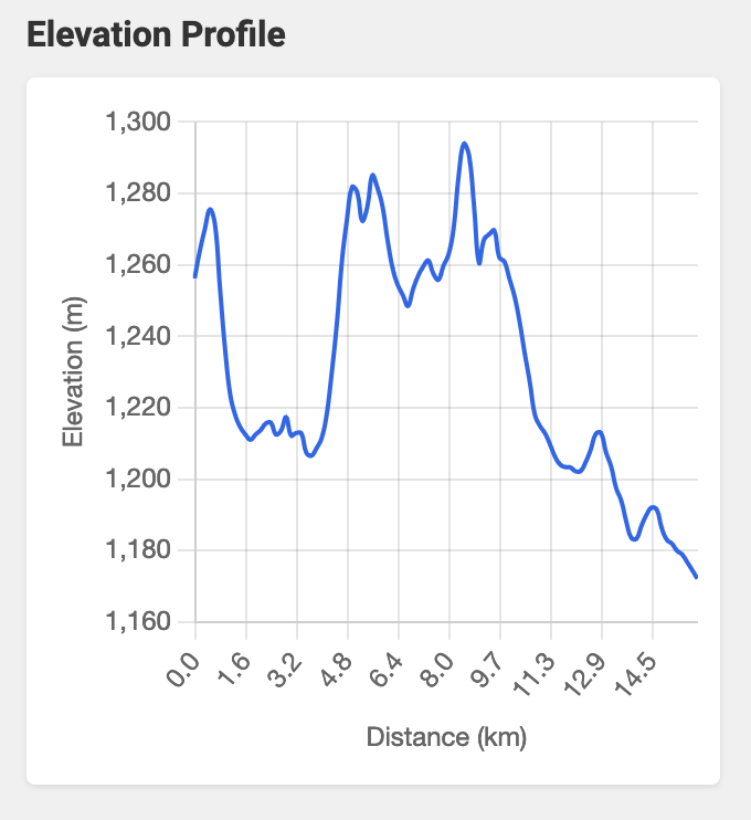
Pipeline Elevation Profiles
View elevation profiles for any pipeline:
- Click on a pipeline to view its details
- The elevation profile will automatically load
- Click anywhere on the profile to see that specific location on the map
- Profile shows elevation changes along the entire pipeline length

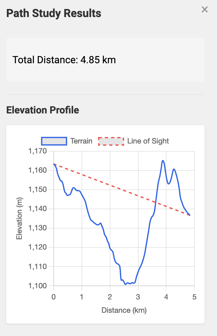
Path Study Tool
Analyze elevation profiles between any two points:
- Click the "Path Study" button
- Place two points on the map
- View the elevation profile and line-of-sight analysis
- Drag either point to update the analysis
Useful for:
- Radio link path analysis
- Terrain obstruction identification
- Distance measurements

Tips and Tricks
- Use the mouse wheel while holding Shift for faster zooming
- Double-click on infrastructure for quick details
- The map automatically saves your last viewed location
- Right-click on the map to measure distances